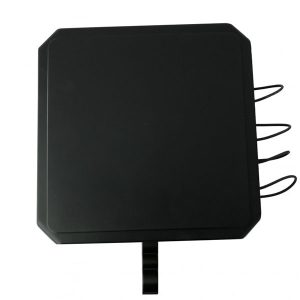
This portable D-BA03 applies full-band GNSS interference (GPS, GLONASS, BeiDou, Galileo) signals to the drone’s radio navigation system receiver, weakening its automatic cruise and precise positioning capabilities, making it difficult to maintain stable flight or perform preset tasks.
UAV Satellite Navigation Blocker uses directional frequency band interference technology to suppress only drone signals, avoiding affecting irrelevant equipment such as civil communications and vehicle navigation, and reducing collateral effects.
Its high-gain directional transmission structure and energy focusing algorithm ensure stable output in complex terrain and multi-path interference environments, forming a “navigation blank zone” within a coverage radius of 10 kilometers, effectively driving away or forcing down general commercial, reconnaissance or light tactical drones.
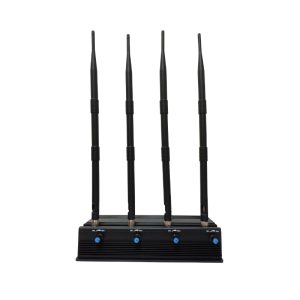
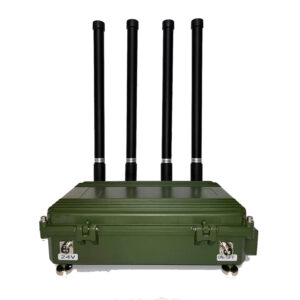
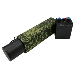
The threshold for equipment deployment is extremely low. A single machine can meet combat needs without relying on external signal sources, power amplifiers or antenna towers. In addition, it also supports multi-point deployment and collaborative work to build a large interference network and achieve omnidirectional path blocking.
The working frequency band of D-BA03 is fixed to the navigation band, does not generate broadband noise, and has extremely small electromagnetic characteristics, so it is extremely difficult to be identified by conventional electronic detection equipment, providing a larger operating space.
Working principle:
- The drone satellite signal channel is saturated and suppressed through fixed frequency or frequency hopping, directly destroying its core positioning function. After the drone loses its position reference point, it cannot fly automatically according to the preset waypoint path, and its heading and stability are completely out of control, and it is forced to enter manual mode.
- Manual driving becomes extremely complicated under signal interference (system failure, flight accuracy drops sharply), the drone deviates from the target path, enters an uncontrolled state, and is even completely abandoned by the operator. The device can change the flight trajectory of the drone at a safe distance to ensure that it cannot approach the protected object.
Basic specifications:
| Interference signals | GPS L1, GLONASS L1, BeiDou, Galileo |
| Coverage range | 10 km |
| Work preparation time | no more than 5 seconds |
| Continuous working time | 24 hours |
| Power supply voltage | 14 – 30 V |
| Power consumption | maximum 120 W |
| Operating temperature range | – 30 ℃ to + 50 ℃ |